


A day visiting and reminiscing about a place that used to be our playground of choice when we were teenagers growing up in a very different world to the one we have now.
Camerton Church – Its History.
Set in an idyllic setting on the banks of the River Derwent half a mile from the rural village of Camerton, the church is surrounded on three sides by the River Derwent and on the other side by farmland from which access is gained using the only to the Church.
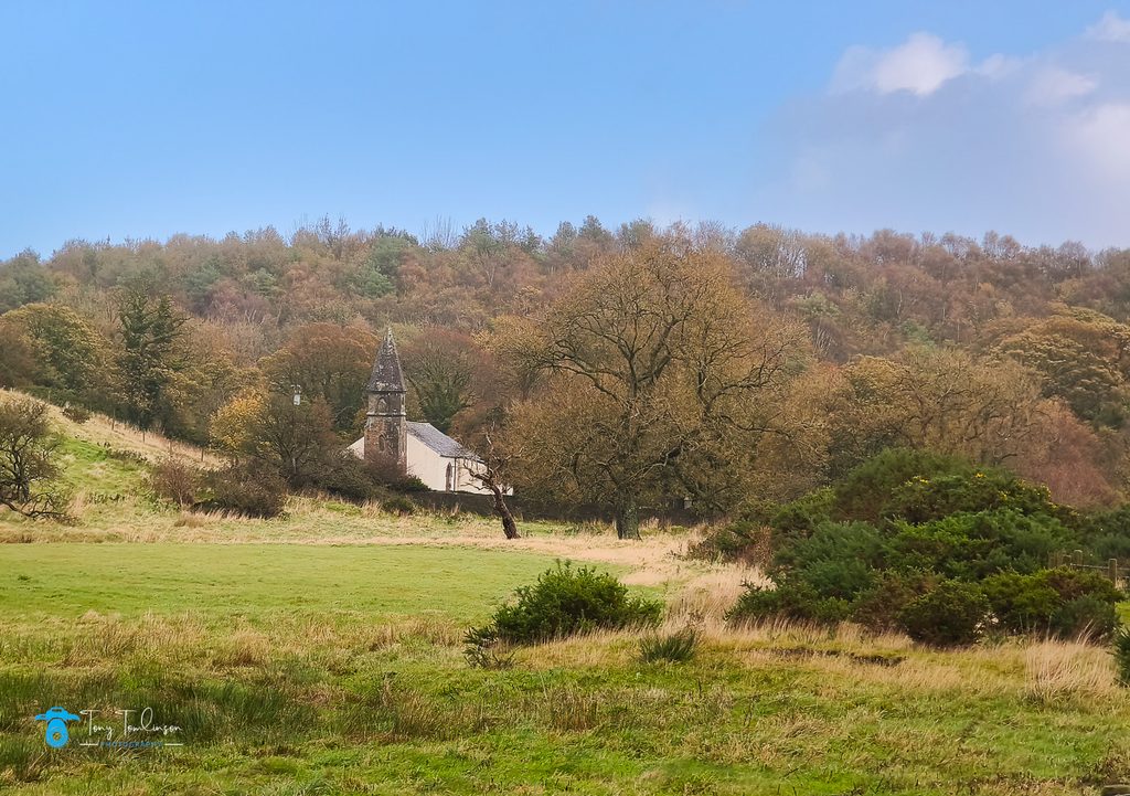
There can be no doubt that Camerton Church played an important part in the religious life of the surrounding area in about the 11th century and is one of the oldest parishes in the Diocese of Carlisle.
The church building has been re-built at least twice in 1663 and again in 1794, being restored in 1885 and 1892. For a considerable time after building the churchyard at Camerton was the burial place for Workington and Flimby as well as Camerton and Seaton.
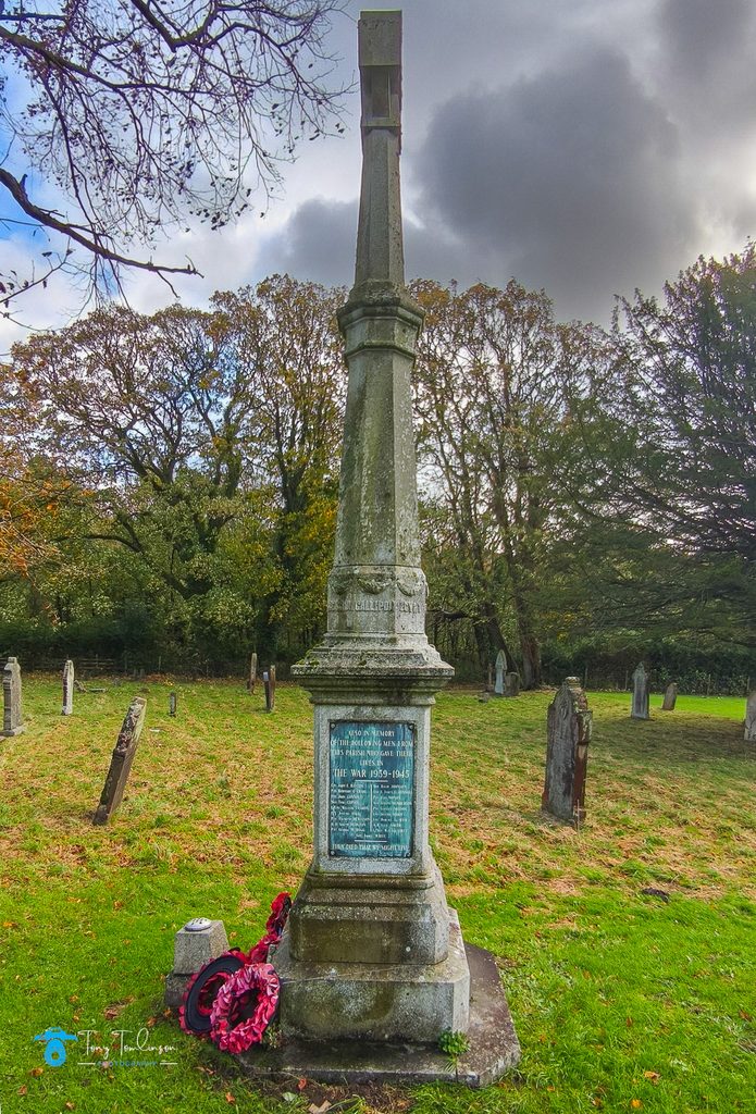
St Peter’s has a small west tower of 1855, with a polygonal top, a nave, transept and chancel. There is a single stained-glass window in the vestry – Christ crowned with thorns and the Cross on His shoulder, by William Wailes.
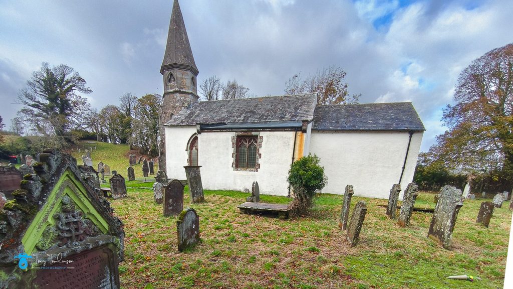
The church building partly dates from the mid-19th century, but parts of the structure are medieval, for instance, the transept arch with its step and chamfer.
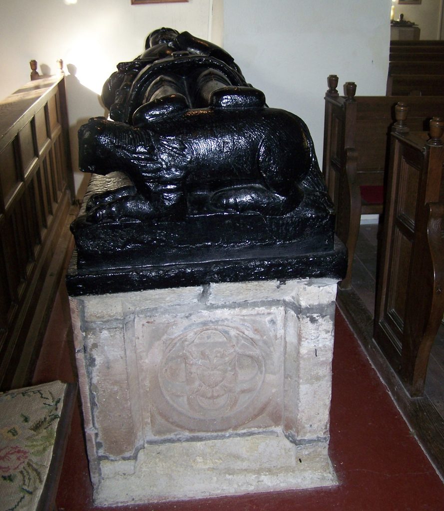
The church is the tomb and effigy of Sir Thomas Curwen, nicknamed Black Tom, dated 1510, according to local legend, Black Tom’s ghost haunts the churchyard.
The church was restored in 1885 and 1892 and for a considerable time after being built, the churchyard at Camerton was the burial place for Workington and Flimby as well as Camerton and Seaton.
St Peter’s is a Grade II listed building, with the church was closed for 19 months after the floods of 2009.
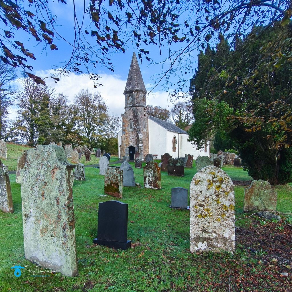
The 2009 Floods
During the biblical floods of 2009, the River Derwent carved a new course nearby, breaching its banks, toppling boundary walls, and washing out or turning over numerous gravestones in the historic churchyard
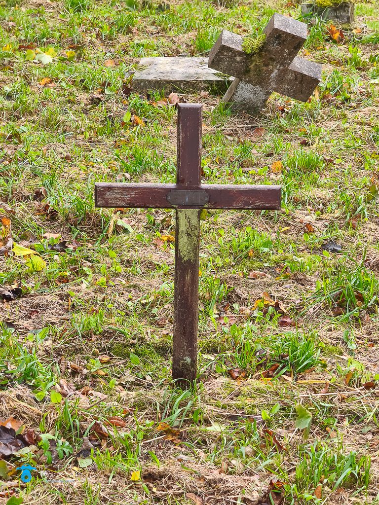
Floodwaters stopped just short of the main building’s threshold, sparing the interior from major structural water damage, with vehicle access was restored in 2010, and after electrical reconnections and bell refurbishments, the church officially reopened in June 2011
The Church used to be enclosed by a stone-built wall, two sides of this wall were destroyed in the 2009 floods when the force of the water demolished the wall.
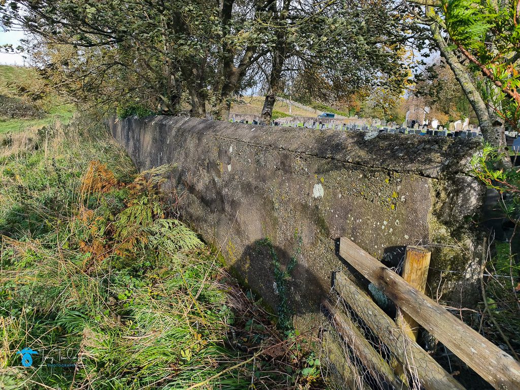
The wall has been replaced by a mesh fence on the eastern and southern sides of the church; this being built to keep the animals out of the church grounds.
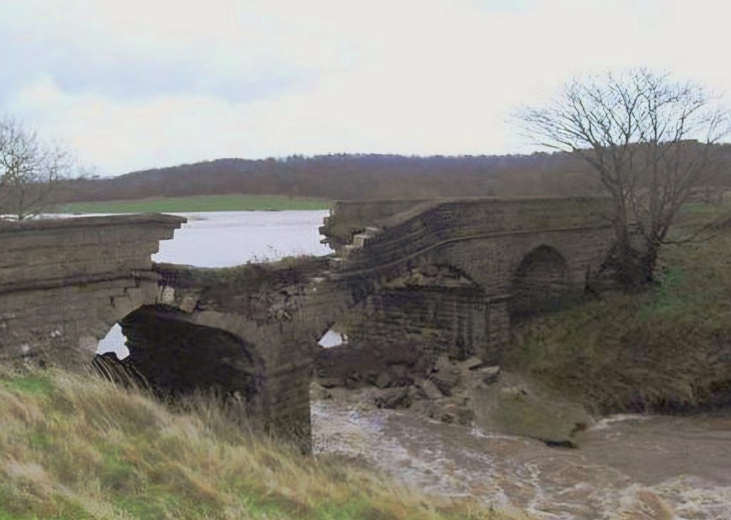
The road bridge over a disused railway line in the village of Camerton collapsed due to floods of 2009. The bridge was the only vehicular access to the church. The bridge has not been replaced, instead the gap has been filled in and levelled up.
The image below shows the historic stone-arched Miser’s Bridge at Camerton.
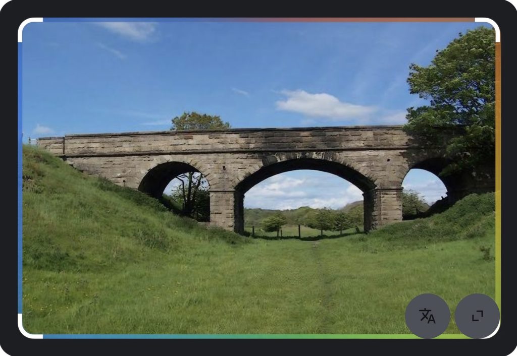
The Image below shows Misers Bridge shortly after its collapse due to the 2009 floods.
The 2015 Floods
In the winter of 2015 devastating flooding returned to West Cumbria, with the River Derwent again rising and flooding the church grounds. The rising waters affecting a wedding ceremony having to evacuate the church during the celebrations.
Reminiscing
Going back some 45 years, the church and its surrounding areas were the adventure playground of myself and many other Children from the surrounding villages.
Walking, Fishing, swimming, bird-nesting, exploring, and tree-climbing activities to keep us busy throughout the daylight hours.
During the summer school holidays when “camping out” was allowed, we would often sneak down to Camerton Church from Seaton to complete the “dare”, i.e. walk into the church during the hours of darkness to see if we could see the ghost of Black Tom wandering around the church and its grounds!
Needless to say, there was a lot of pushing and shoving going on so as you were not at the front of the que!
Scawbank
Scawbank is a steep wooded area that you had to pass through from Seaton to reach the River Derwent, the path through Scawbank was extremely steep and shall we say, not too safe, It had (and still has) near vertical drops on the right-hand side all the way down to the reivers edge.
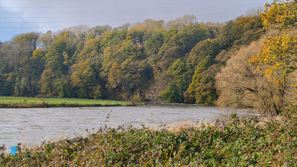
The same path was used for generations, until the late 1970’s when an alterative and safer path was created, taking you away from the steep slopes.
As far as I know both paths are still accessible today.
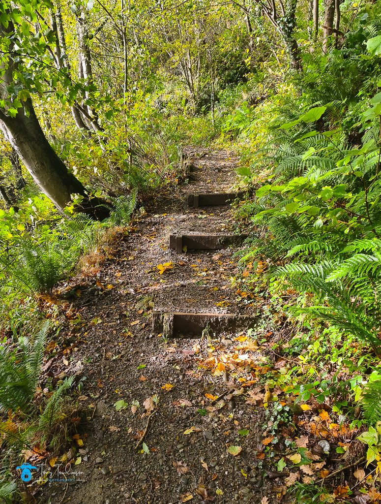
Once down at the river level, I can recall days when whole families would take a picnic to the river’s edge and spend the day swimming, and running around the fields, how simple life used to be!
As we grew older, we would regularly go swimming in the river, but we would always obey the unwritten rule that only the “older” kids could only use the swimming area at the bottom of the woods.
This was where the river took a sharp left turn which created deep and slow-moving waters, ideal for swimming in.
I can remember that there was a story that there used to be a whirlpool here, a though that scared us so much!
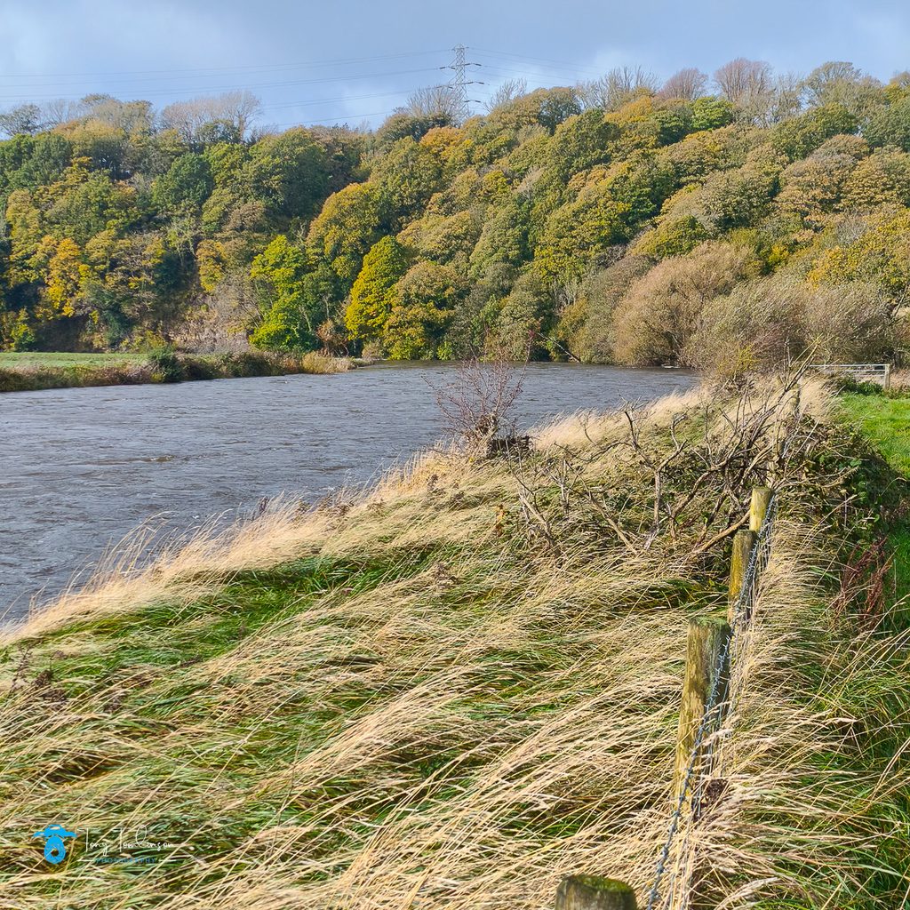
There was an area on the riverbank where you could store your cloths, a short drop into the water, then a paddle along the ledges under the waters surface to find the deeper depths of the river. (This riverbank area has now disappeared whether it has been washed away and/or buried under the encroaching undergrowth).
There used to be a path (a loose term as the “path” was often along steep loose soil slopes and resulted in a guaranteed bath if you slipped) along the bottom of Scawbank which led you to the Salmon Traps at Low Seaton.
This was another favourite swimming spot for us; known locally as the “coops” it provided another location along the River Derwent which became our adventure playground.
If you carried on walking up-river from the bottom of Scawbank you come to a small stream, this used to be crossable using a bridge made from a length of steel joist, no handrails, you had to rely on balance and putting one foot in front of the other, if you slipped, you got wet.
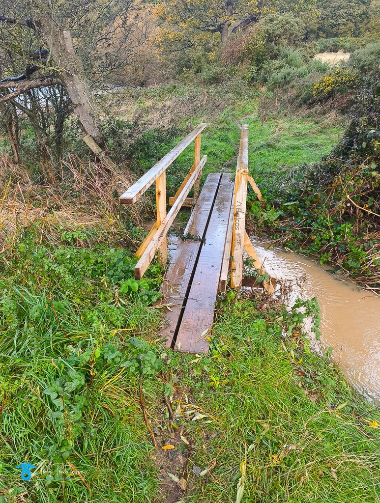
Now this has now been replaced by a wooden structure, handrails and all, how times and behaviours change with time!
The Railway
If you walked from the bottom of Scawbank following the river towards Camerton Church, you come across what used to be the Workington to Keswick railway line.
Long since disused, you can still pick out remnants of where it was, one such place is where it crossed the River Derwent, about halfway between Scawbank and Camerton Church.
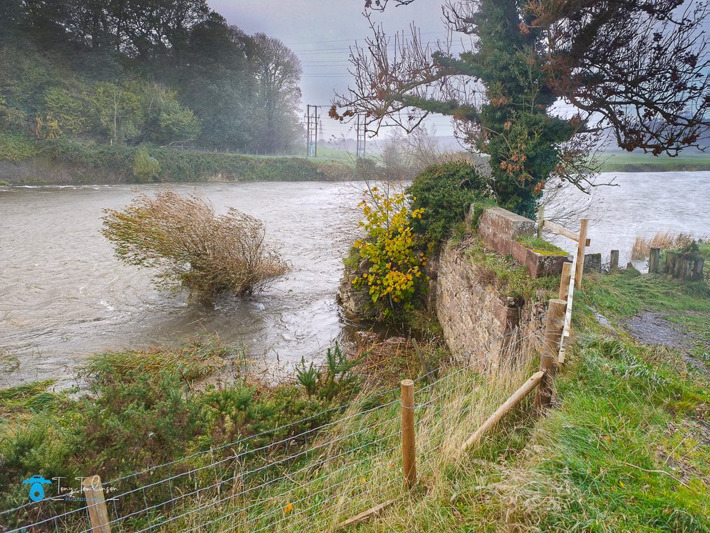
I can remember the bridge being in place, but this has now gone, probably removed some years after the railway line vanished, but the columns which held it up remained until the floods of 2009.
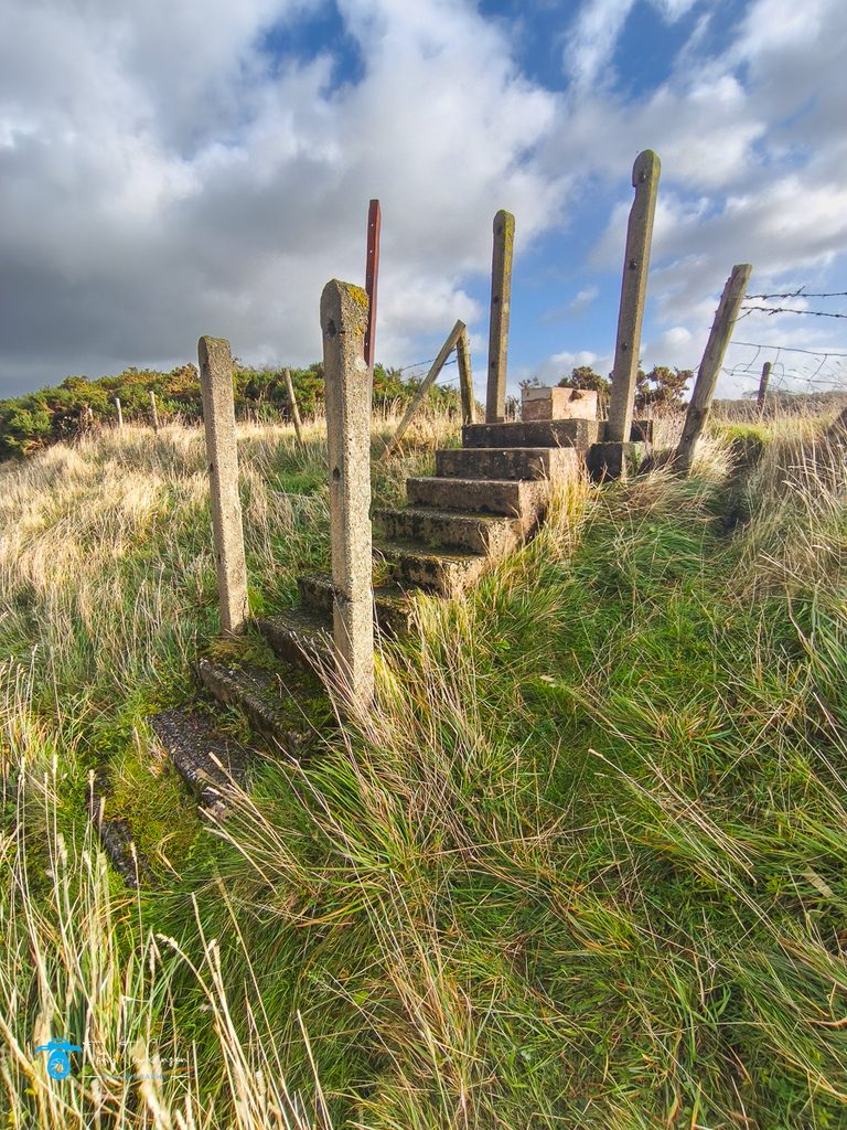
The central stone columns were washed away, as was the far end (Workington end) bridge abutment, this has now completely gone, but a small amount of brickwork remains on the Camerton (eastern) abutment.
The River Derwent new Route
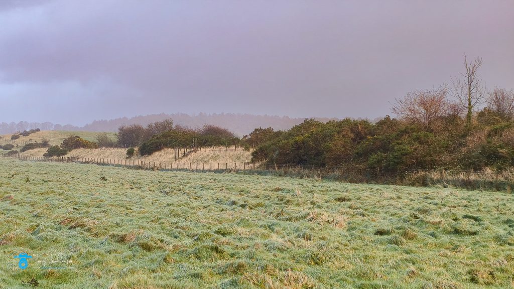
From this position and continuing to follow the river upwards, I was surprised to see how much erosion of the far shoreline has happened, this is another dense wooded area, but the river is obviously chipping away at the bank as there is now a 10- 20-meter vertical face visible.
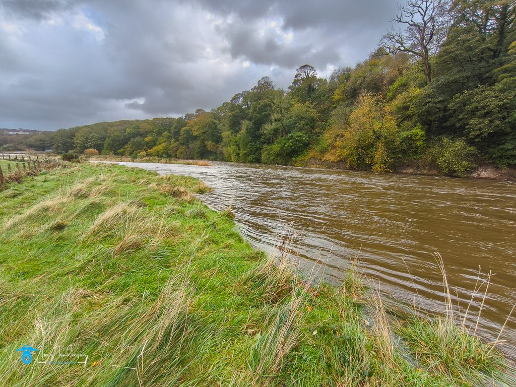
Going back to when we were kids, the river used to snuggle-up to this wooded area which is below Bow Flatts at Clifton, but now, there is evidence that the river is changing course and encroaching into the grazing fields in the Camerton side of the river.
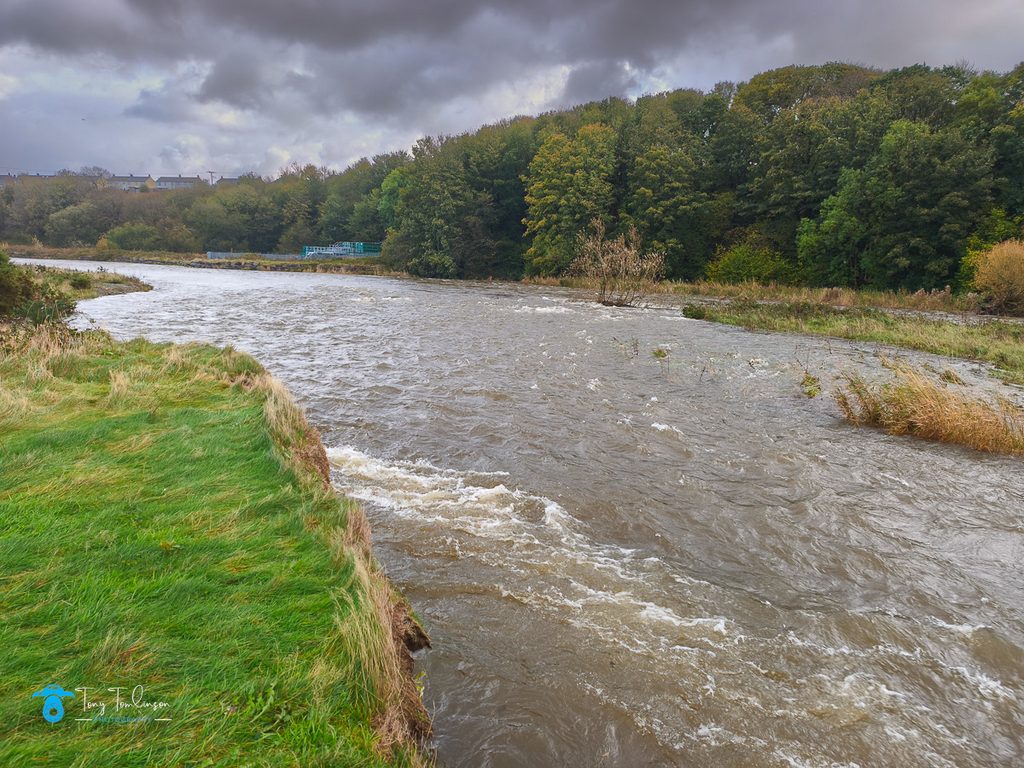
Originally, in the 1970’s there were many mesh cages all along the Clifton side of the river bank, these being filled with rocks, which were placed to prevent the river eroding the riverbank.
The course of the river was around the Clifton side of the riverbank was always very fast flowing, but not that wide, it was a place that demanded respect.
The stone cages have now been replaced with huge cut rocks, like oversized building bricks, these now provide the erosion defences with higher up the riverbank being very well populated with trees and bushes which will tie the land together.
What is different along this stretch of the river is how deep the river has scoured out of the riverbed, this erosion is now right up against the eastern edge of the church grounds, where once there was a substantial are of level land before you reached the river.
Just above the church, the river has totally changed course, where once it was a very large and gentle turn which created a sand-like riverbank where swifts and other birds would nest during the summer months, it now flows 20-30 meters to the east.
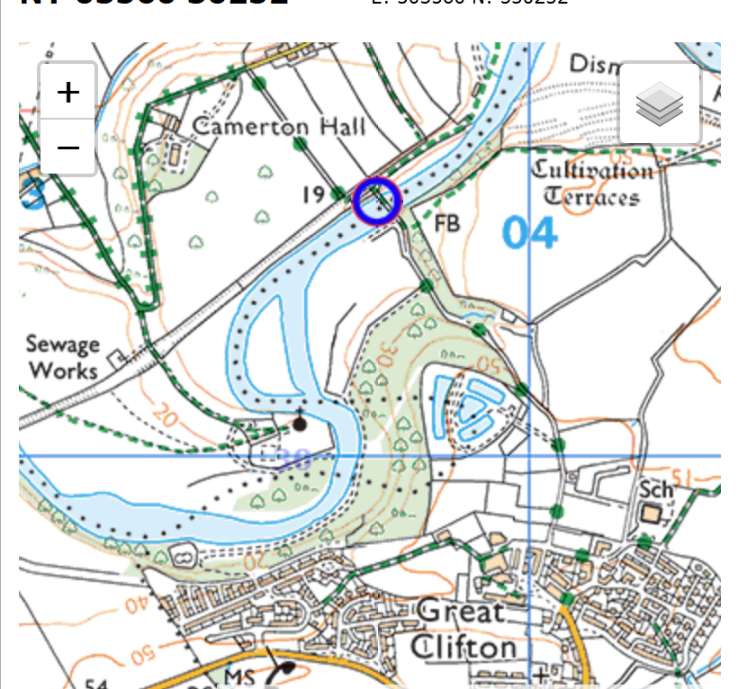
This diversion was apparently the result of the 2009 floods, but on the day that I visited the volume of the water in the river had enable it to find and use its original course.
So ends my first time visiting Camerton Church for 26 years, and over 45 years since I had visited Scawbank.
Thank you for reading my latest blog post, and your continued support of my website.
