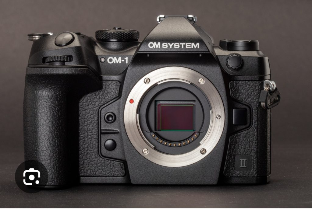
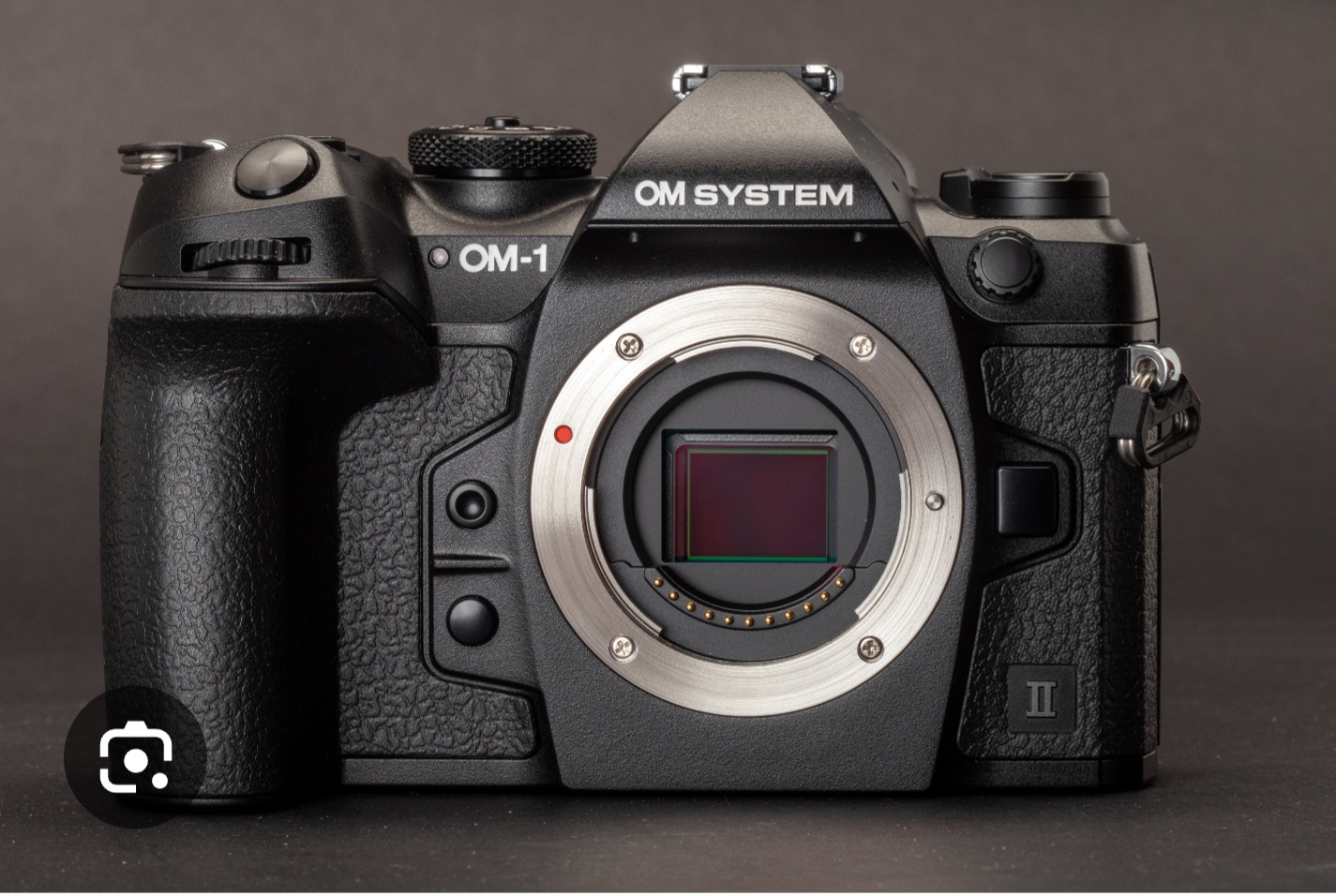
The proof is in the eating, so they say, so after waiting for several weeks to trade my old photography system and receiving my new, Its finally time to try the camera and lenses out.
The light as been pants for the last two weekends, but I had to bite the bullet and get out, so on a overcast, grey and damp day, I’m off to try out my new camera.
I headed for Grange, in the Borrowdale valley with the aim of looking for some compositions of the River Derwent as the water is crystal clear, along with a trek through the woodlands to capture some autumnal colours.
Once you have used one camera, you can use any, (so they say) and to a point this is true, but I soon ran in to muscle memory issues as I was instinctively going for buttons that I have been using for 20 years or more.
It will take time to become accustomed to the new layout, but the issues are not insurmountable, presently these minor issues are just slow me down a little.
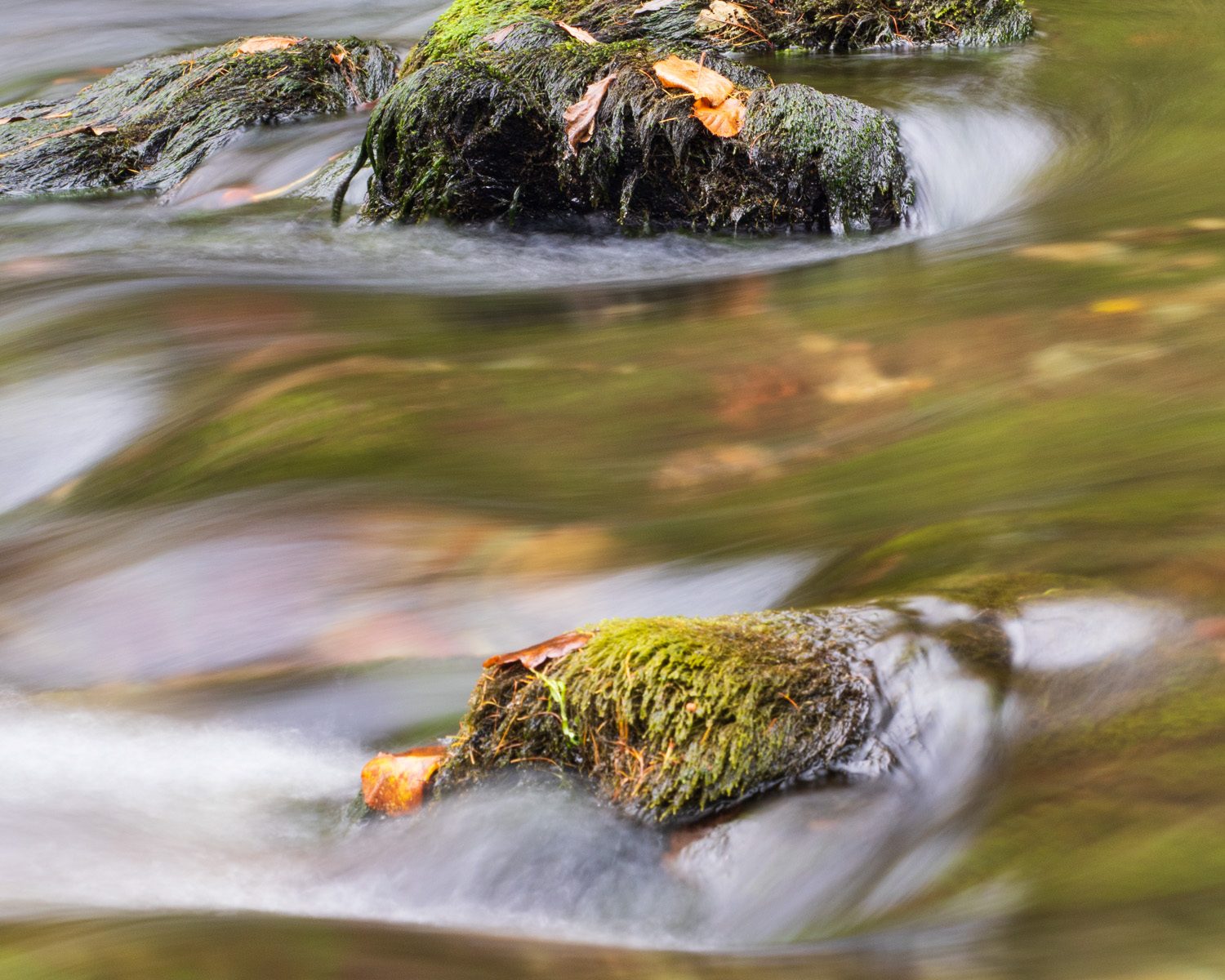
Photography wise, I was struggling, the light was pants, and I have missed the best of the autumnal colours, however I found a little beck with moss coloured rocks and brown autumnal coloured leaves scattered around the scene so I took a little time to compose a image. Not the best in the world, but a reasonably interesting one.
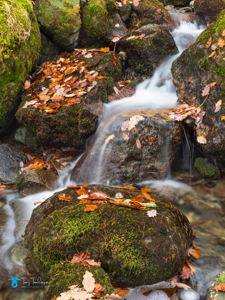
The river levels were low, a reflection of the reduced rainfalls recently, the lovely turquoise coloured pools drew my attention, but compositions were hard to come by.
I found one large pool called “Wilkinson’s Dub” which was a lovely colour, with a shrub on the far bank being reflected in the water, so I used a K&F polarizing filter to remove some of the glare to try and get a different type of image, this image is below, do you think it works?

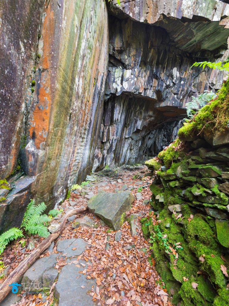
I then came across a disused quarry which provided some contrast to the remaining autumnal colours of the woods.
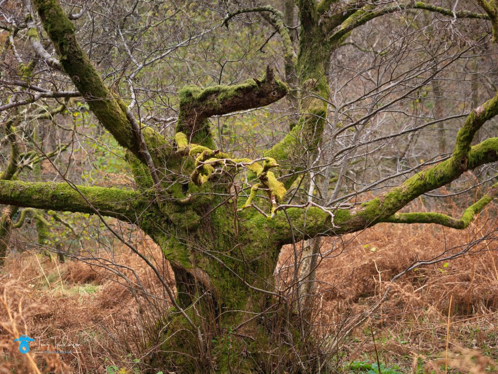
As I trekked through Low and High Hows Woods I took a couple of snaps, one of a tree which, to me had a branch that looked like a birds face, can you see it?
OM-1 Conclusion:
Of course it will take some time to become fully accustomed to the OM-1 camera and its controls, I still need to customise some functions, but this will be done in time.
My main concern was one the quality of the images, as the four thirds sensor is substantially smaller than the full frame variant that I have been using for many years. I wont know the full answer to this question until I print a A2 sized print to make this assessment.
One big positive is that after two and a half hours lugging all all my new kit around in my backpack, I managed this with no issues, the weight saving was very obvious, long may this last.
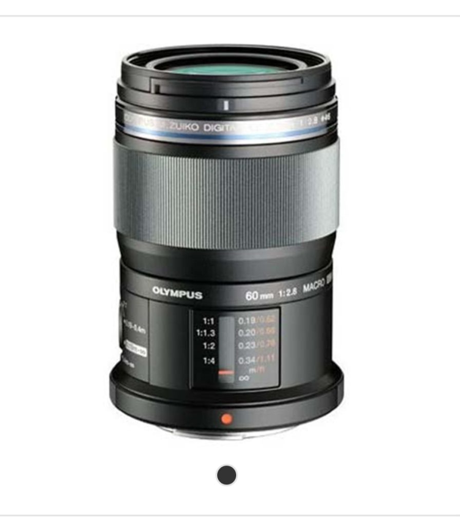 Zuiko Digital ED 60mm f2.8 macro lens
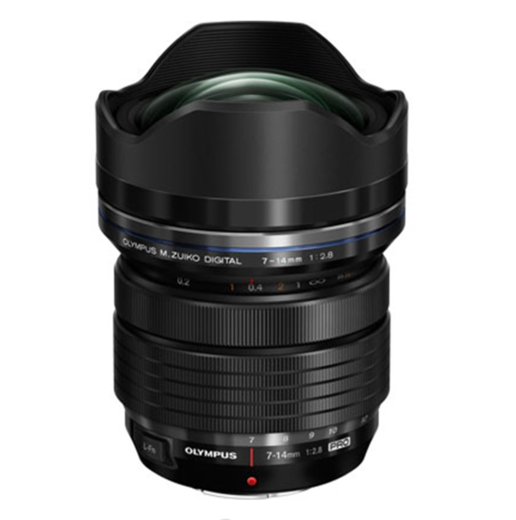 M.Zuiko Digital ED 7-14mm f2.8 Pro lens
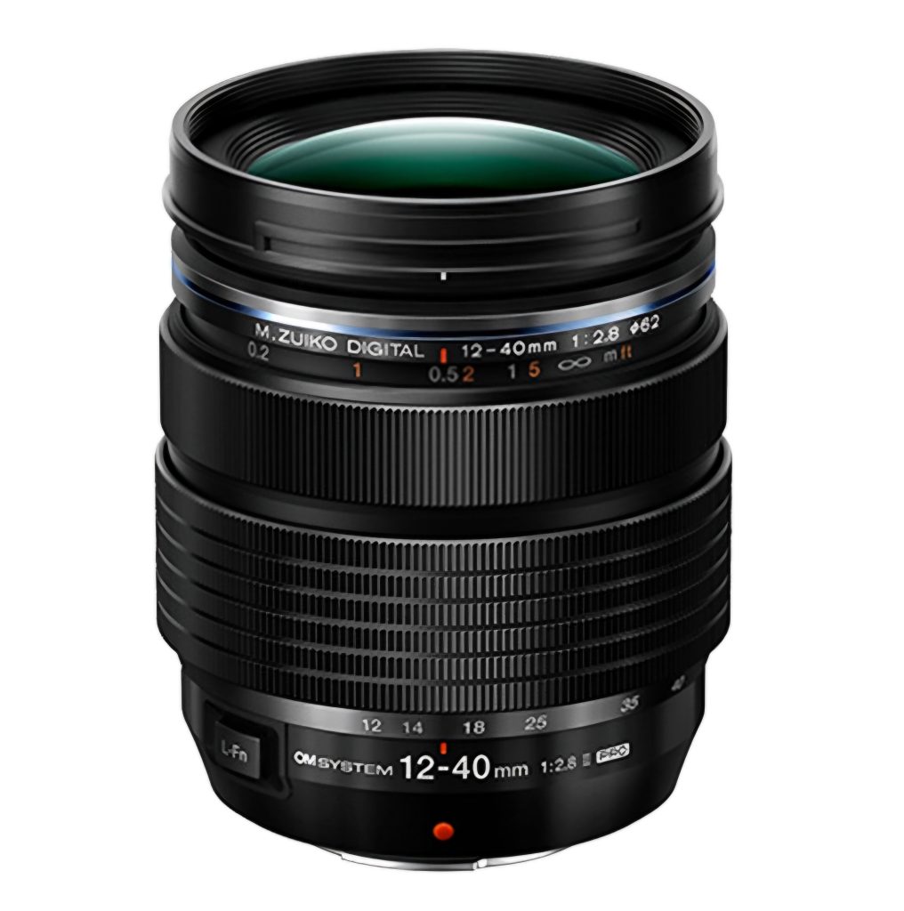 M.Zuiko Digital ED 12-40 f2.8 Pro lens
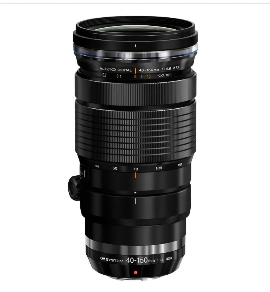 M.Zuiko Digital ED 40-150mm f2.8 Pro lens
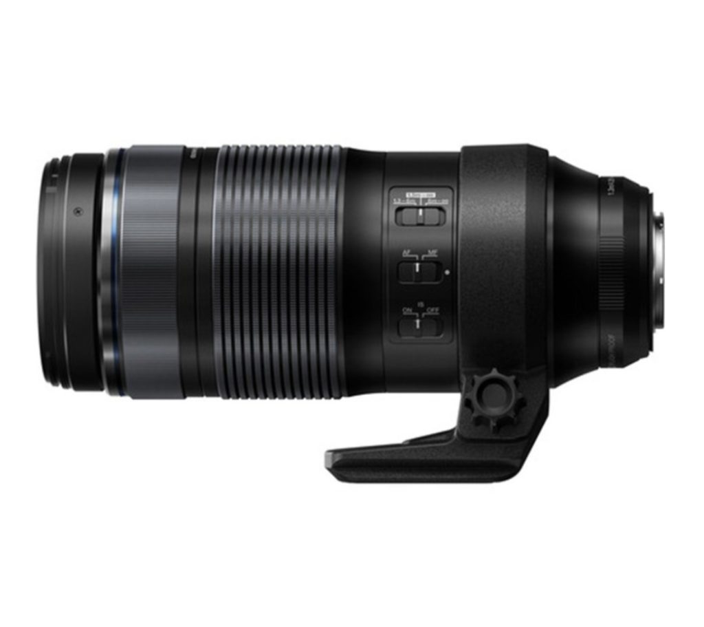 M.Zuiko Digital ED 100-400 f5-6.3 IS lens
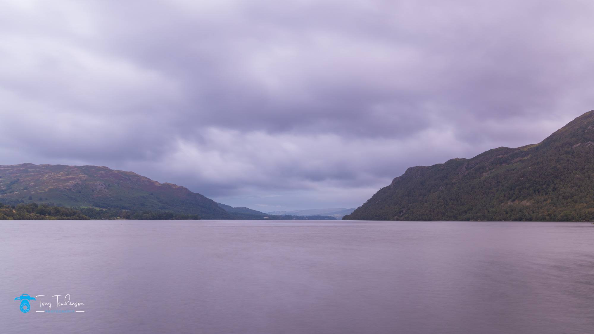
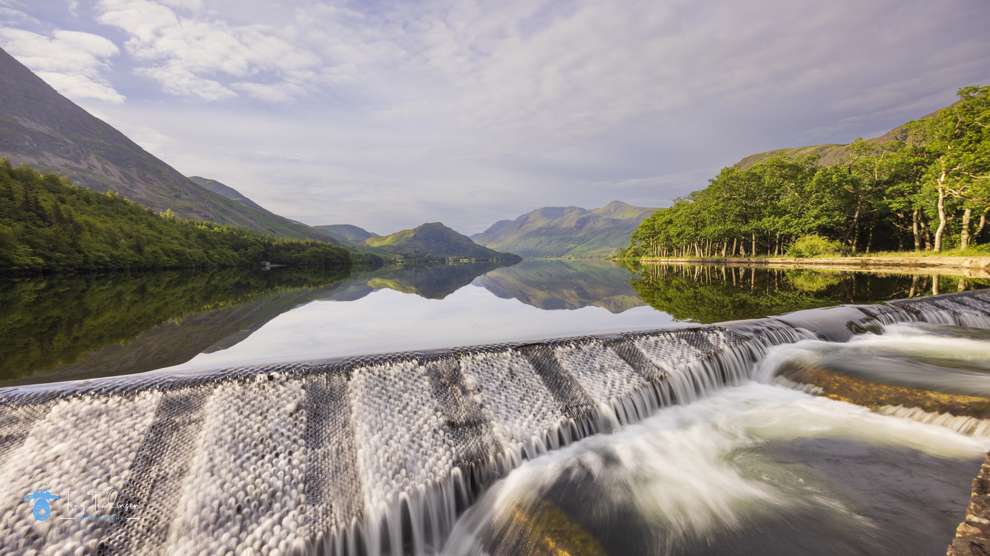
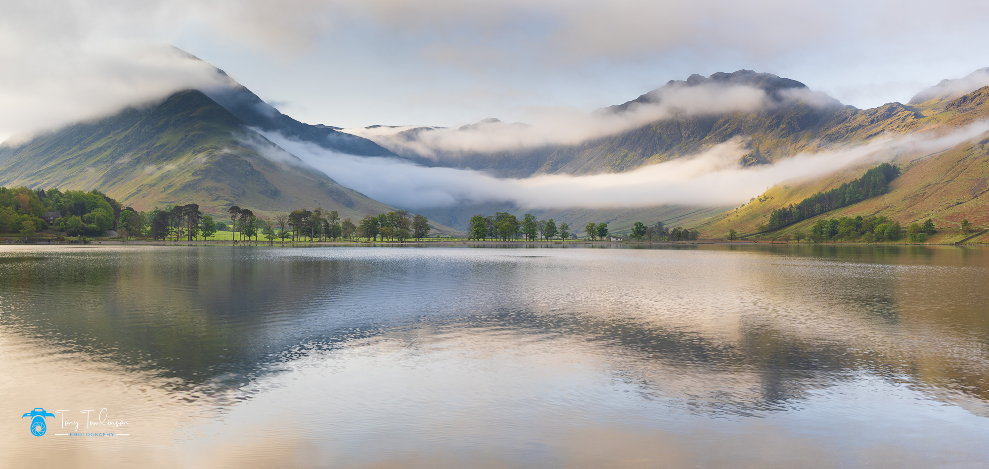
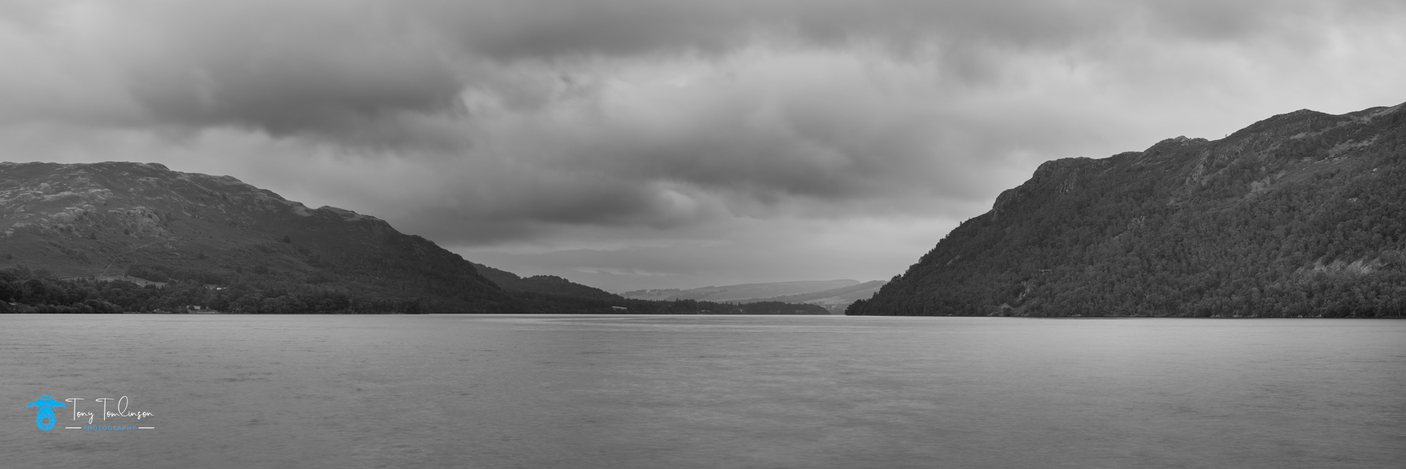 Ullswater Panoramic
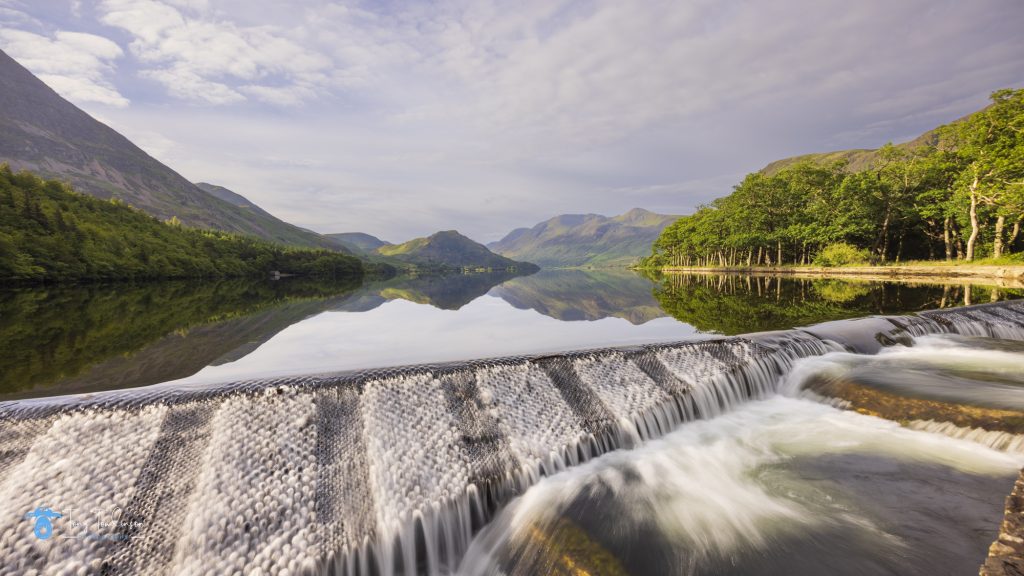
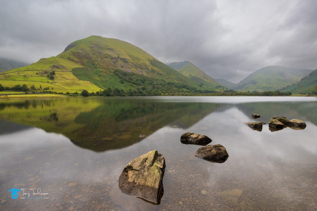 Hartsop Dodd reflection in Brothers Water
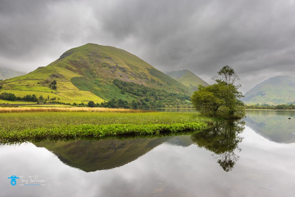 Copse of Trees